China's SCS Strategy Thread

taxiya

Brigadier
Registered Member
Were they tipped off? That's either a really lucky picture or finding ships with satellites in the open sea is not as difficult as some people are making out!
Most likely tipped off. Finding without a cue (tip off or prior intel) will be a lucky shot.

A typical revisiting period of sun synchronous orbit is about 1.5 hour during which ship at 20knots will move 56km which is not far for satellite on that orbit. However, that is based on the fact that the satellite orbit passes above the ship. Either one has the tip off (so to move the satellite before hand), or one has to have many satellites with minimum revisiting gap over the global.

Another challenge is that the definition of photo has to be high enough to distinguish a civilian ship and a DDG of the same size, if there is no prior information, considering that the east Asian coast is filled by some many civilian ships.

It is one of the many challenges that China faced when building her anti-access network for ASBM, also used by Naysayers as the primary argument of such system was/is not in place yet.

[Edit] Liaoning was shadowed by two ships from Taiwan few days ago. So it was known long ago enough for satellite positioning.
 
Last edited:

jobjed

Captain
Or the PLAN sailed their fleet in formation into the known path of the satellite because they wanted the world to see this fleet in formation.

Planet Labs operates dozens of cubesats which allows them to have something like a 30min refresh time for everywhere on the globe. However, owing to their cubesat nature, the photos taken are of much lower quality than their competitors; 1-3m/pixel compared to 30cm/pixel on Digital Globe's latest WV-4 satellites.

There is low likelihood of insidious elements at play here. That part of the SCS is photographed every 30 min but nothing of interest ever shows up so PL never bothers to publish it. But since a 41-ship armada suddenly showed up in the middle of nowhere, PL has every reason to market their imagery to the media.
 

Rachmaninov

Junior Member
Registered Member
They probably just came to this forum and saw this post?

now noticed the tweet
Please, Log in or Register to view URLs content!

Please, Log in or Register to view URLs content!


Exercice de la marine chinoise prévu du 20 au 21 Mars aux Paracels, en mer de Chine méridionale.

Translated from French by
Please, Log in or Register to view URLs content!

Exercise of the Chinese navy scheduled for 20 to 21 March at the Paracel, in the South China Sea.

DYve-3aUQAEp_mt.jpg
 
here's what NavyTimes had to say:
Chinese flotilla transits South China Sea, satellite imagery shows
Please, Log in or Register to view URLs content!

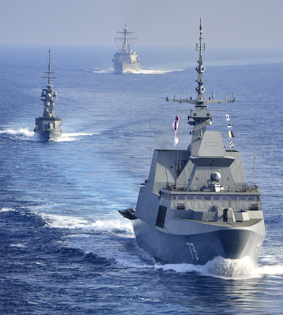
The U.S. military has warily watched the steady growth of
Please, Log in or Register to view URLs content!
and its expansion into the
Please, Log in or Register to view URLs content!
, where its anti-access/area denial strategy seeks to shoo America and other outsiders out of the country’s watery backyard.

This week, the country’s naval forces produced its latest coming out party of sorts, as scores of ships steamed with an aircraft carrier along a vital trade waterway, according to satellite images first obtained and reported on by
Please, Log in or Register to view URLs content!
.

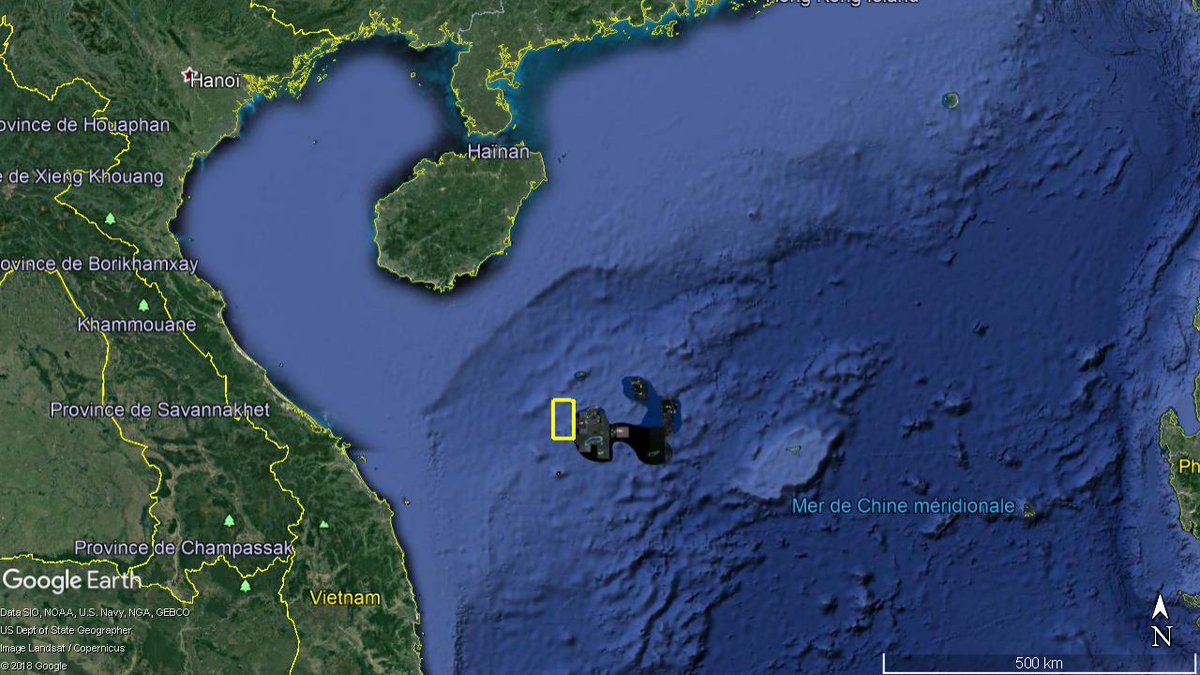
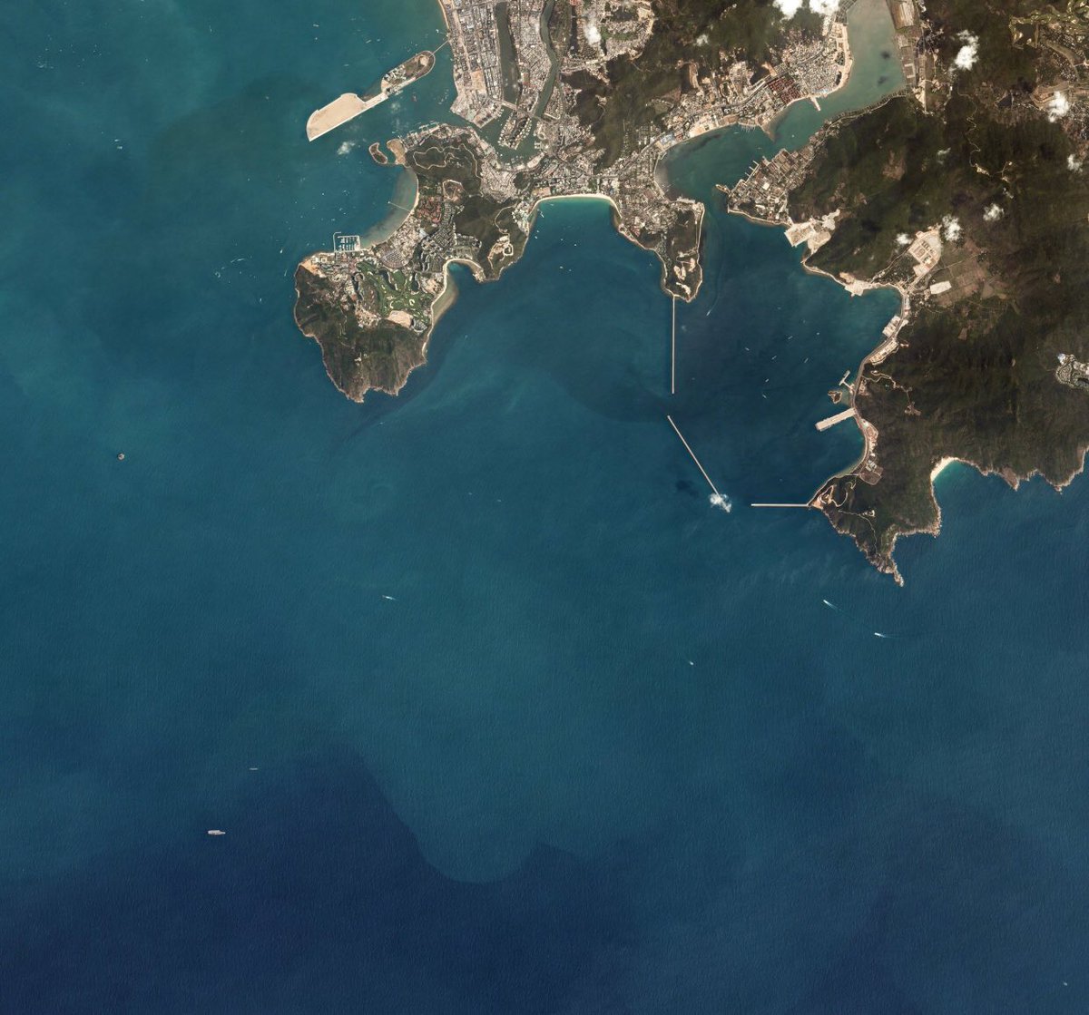
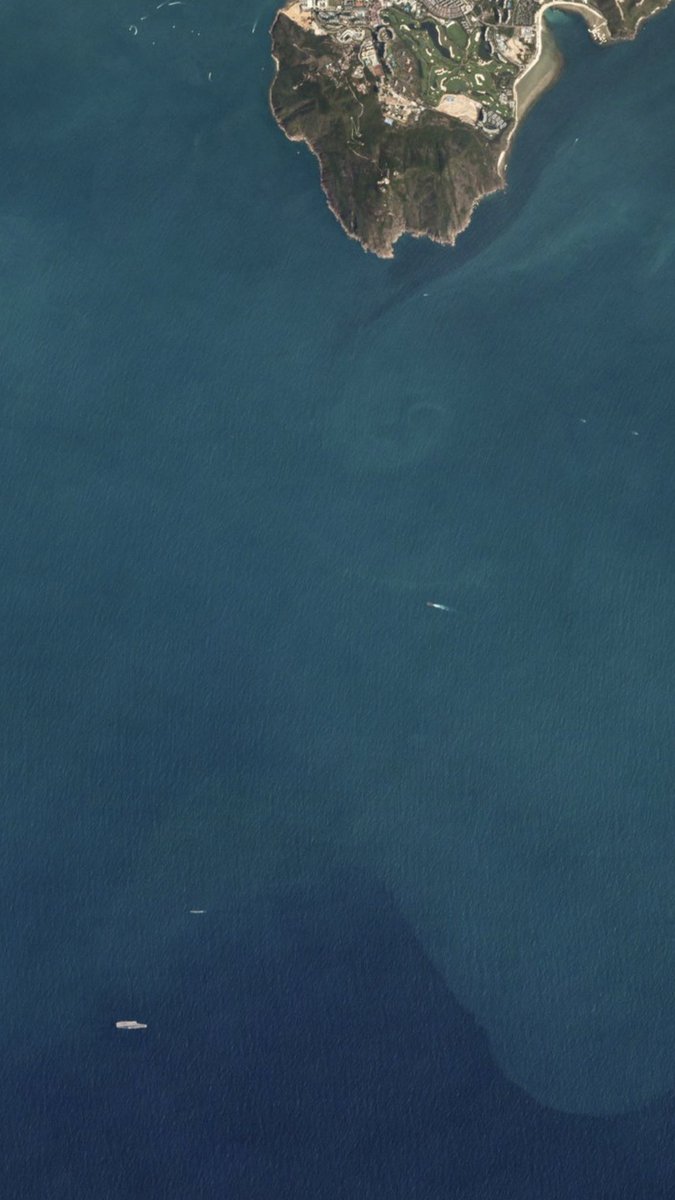
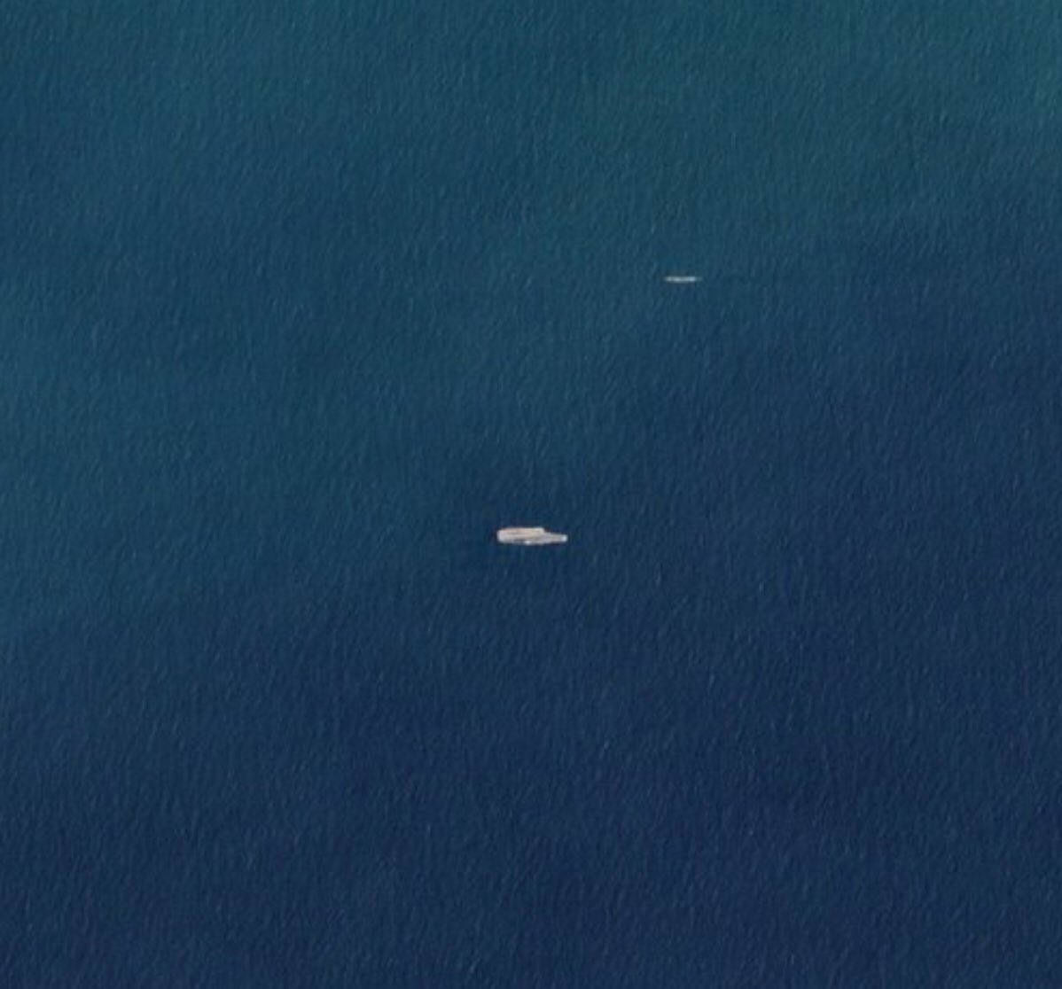
The images, provided by Planet Labs, an earth imaging company, show Chinese ships moving in a straight line off the island of Hainan in the South China Sea.

Reuters
Please, Log in or Register to view URLs content!
this week that the movements were part of what the Chinese navy said were combat drills that comprised part of annual exercises.

The Chinese Liaoning carrier group just steamed through the Taiwan Strait last week, the Taiwanese defense ministry said, according to Reuters.

Taken Monday, the images appear to show dozens of ships and submarines flanking the carrier in a line formation.

“It’s an incredible picture,” Jeffrey Lewis, a security expert at the Middlebury Institute for Strategic Studies, was quoted as saying by
Please, Log in or Register to view URLs content!
. “That’s the big news to me. Confirmation that, yes, the carrier participated in this exercise.”

The size and scope of the deployment was unusual, security expert Collin Koh told Reuters.

“It does seem they are keen to show that elements of the South Sea Fleet are able to routinely join up with the carrier strike group from Dalian in the north,” said Koh, of the S. Rajaratnam School of International Studies.

Koh said the Chinese flotilla appears to include a large oiler for refueling as well as smaller corvettes, in addition to the standard destroyers, frigates and boats that would travel with a carrier, according to Reuters.

While the movement showcases the Chinese navy’s ability to deploy, it remains to be seen where the force stands in terms of actual combat readiness, Koh told Reuters.

Monday’s display of maritime might came after news Friday that the U.S. Navy destroyer Mustin conducted a freedom of navigation operation, or FONOP, where it steamed within 12 nautical miles of a South China Sea artificial island built by the Chinese.

The FONOP,
Please, Log in or Register to view URLs content!
by Reuters, involved the Mustin traveling near Mischief Reef in the Spratly Islands.

China has sought to extend its reach into the South China Sea by constructing artificial islands and military bases.

Meanwhile, the United States has called out the development’s potential infringement on the free flow of trade.

U.S. military officials said the activities were allowed under international law and that forces regularly operate in the region.
 

hkbc

Junior Member
Most likely tipped off. Finding without a cue (tip off or prior intel) will be a lucky shot.

A typical revisiting period of sun synchronous orbit is about 1.5 hour during which ship at 20knots will move 56km which is not far for satellite on that orbit. However, that is based on the fact that the satellite orbit passes above the ship. Either one has the tip off (so to move the satellite before hand), or one has to have many satellites with minimum revisiting gap over the global.

Another challenge is that the definition of photo has to be high enough to distinguish a civilian ship and a DDG of the same size, if there is no prior information, considering that the east Asian coast is filled by some many civilian ships.

It is one of the many challenges that China faced when building her anti-access network for ASBM, also used by Naysayers as the primary argument of such system was/is not in place yet.

[Edit] Liaoning was shadowed by two ships from Taiwan few days ago. So it was known long ago enough for satellite positioning.

Thanks, from the company's information planetlabs has less than 500 employees so they must have gone to a fair amount of trouble to get the info/tip, position the satellite's cameras, sift through the resulting images and arrange a deal, if the timeline's to be believed since reuters published the photos within 24 hours. I guess it's good publicity for them!
 

supercat

Major
I think bilateral negotiations and co-development is the only way going forward, so China and Philippines are on the right track:

China, Philippines seek to share South China Sea
Proposed joint development agreement for contested area's oil and gas underscores diplomatic warming trend but faces legal hurdles and political risks
...

Please, Log in or Register to view URLs content!
 
...
Please, Log in or Register to view URLs content!

Please, Log in or Register to view URLs content!


US
Please, Log in or Register to view URLs content!
THEODORE
Please, Log in or Register to view URLs content!
CVN71, destroyer SAMPSON DDG102 joined with
Please, Log in or Register to view URLs content!
's frigate SUPREME 73 and patrol ship
Please, Log in or Register to view URLs content!
91 in cruising thru the South
Please, Log in or Register to view URLs content!
Sea this weekend
Please, Log in or Register to view URLs content!


DaPMoWhVQAAJ3ru.jpg

DaPMyfXVAAEnQNI.jpg

DaPNXhUUQAAVetq.jpg

DaPNf42VQAAd2CY.jpg
 

Hendrik_2000

Lieutenant General
BEIJING'S SOUTH CHINA SEA MILITARY BASES NOW HAVE JAMMERS THAT CAN BLOCK AMERICAN RADAR AND COMMUNICATIONS, U.S. CLAIMS
BY
Please, Log in or Register to view URLs content!
ON 4/9/18 AT 12:07 PM
Please, Log in or Register to view URLs content!


United States officials claimed that China has installed military jamming equipment on fortified artificial islands in the South China Sea which will allow Beijing to block enemy radar and communications systems.

This latest step in China’s militarization of its island bases signifies Beijing’s determination to assert its regional territorial claims, regardless of U.S. opposition. According to
Please, Log in or Register to view URLs content!
, the jamming systems were installed within the last 90 days.

The Journal quoted a U.S. Defense Department official who said that China “deployed military jamming equipment to its Spratly Island outposts” in the southern part of the sea. The claim was reportedly backed by satellite images provided by commercial satellite company DigitalGlobe. China’s Defense Ministry did not respond to a request for comment.

The images showed what is believed to be a jamming system with its antenna extended on Mischief Reef, one of seven fortified artificial Spratly outposts. China has been constructing such bases since 2014. Existing reefs and rocks are covered with sand and eventually concrete, creating military bases in the middle of the ocean.
 
Top